Welcome To 'Antique Prints, Maps & Charts'
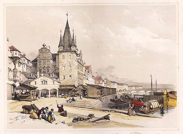
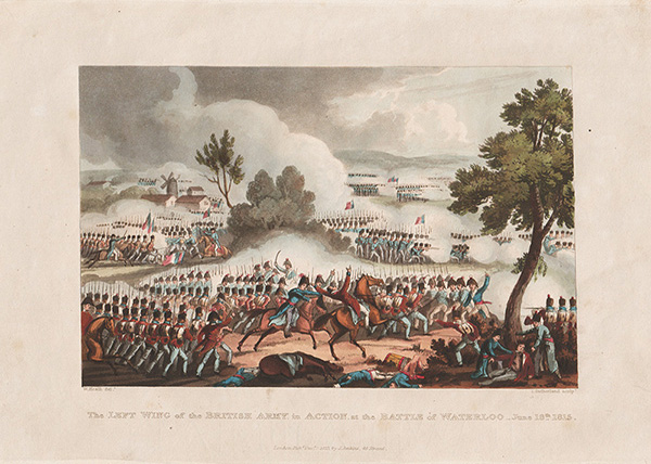
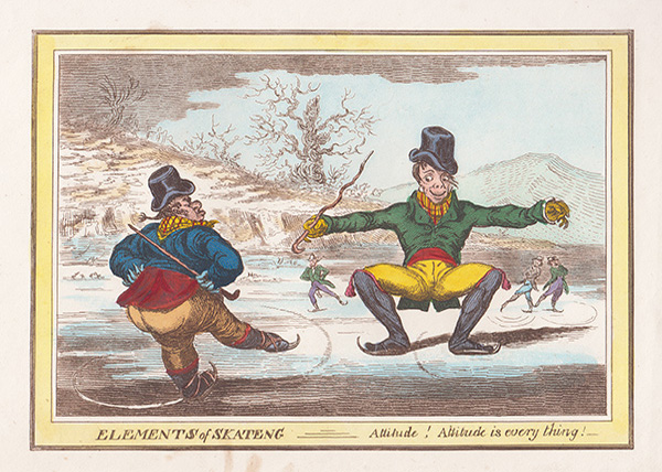
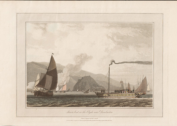
Browse our on-line shop which is currently showing a wide selection of 17th and 19th Century antique prints by William Daniell, Samuel and Nathaniel Buck, Gillray, Rowlandson, Paul Sandby and others.
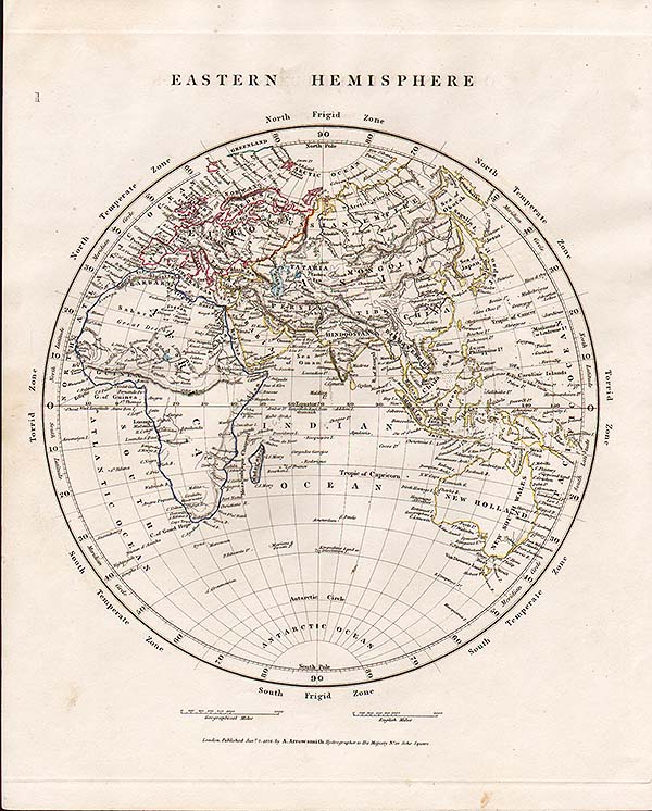
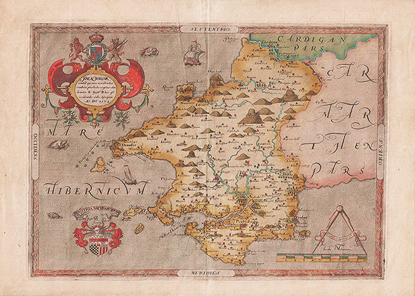
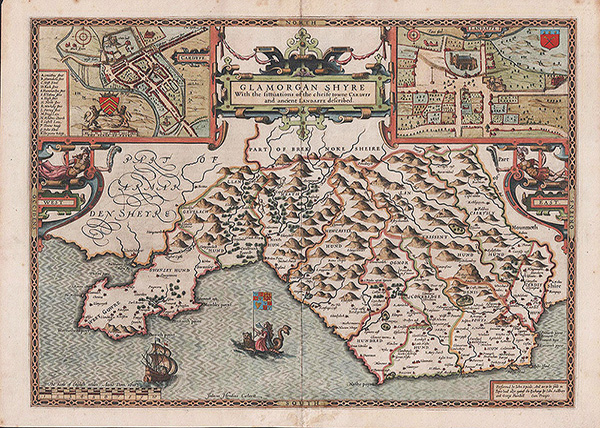
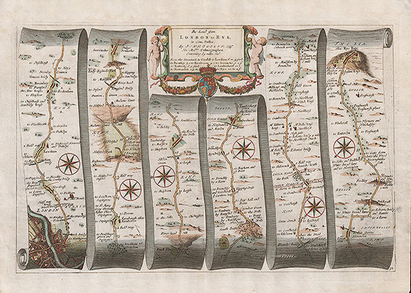
We have antique maps by John Speed, Christopher Saxton, Van den Keere, John Bill, Robert Morden, Humphrey Llwyd and antique sea charts, battle plans, town plans and foreign maps.
Antique Prints, Maps and Charts
Established in 1995 we started dealing in antique maps and prints by exhibiting at antique fairs throughout England and Wales. Our website was developed in 2000 and our inventory now has some 24,000 antique maps and prints which you can browse.
Our website is updated after each sale consequently all the items on view are available to purchase.
We specialise in maps and prints of the United Kingdom and Ireland, but carry a large stock of original material of all parts of the world, which range from the sixteenth century to the early twentieth century.